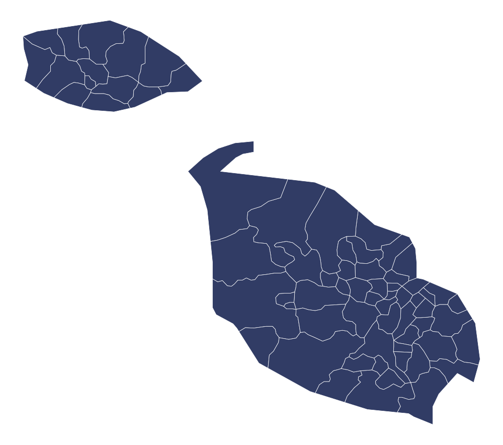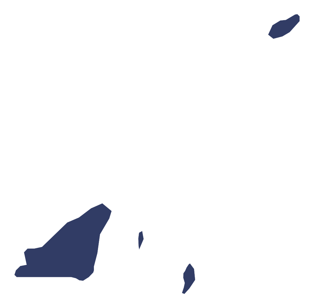
Wallis and Futuna Editable PowerPoint Map
Country Maps
Highly detailed, fully editable PowerPoint map of Wallis and Futuna Editable PowerPoint Map. Perfect for business presentations, sales territories, marketing strategies, and academic projects. Includes multiple color themes and completely separated regions.
- 100% Editable Shapes & Colors
- Includes standard .PPTX format (0.45 MB)
- Instant digital download upon purchase
- Royalty-free commercial license
Description
This professionally designed Wallis and Futuna Editable PowerPoint Map is ready to use in your Microsoft PowerPoint presentations. All regions, boundaries, and labels are fully editable vector shapes, meaning you can easily recolor, resize, or highlight specific areas to fit your presentation's theme without losing any quality.
The download includes multiple slides featuring different styles, including solid colors, outline views, and text placeholders. Save hours of design work with this instant, high-quality digital product.